
The Flinders Ranges
The Flinders Ranges is the largest mountain range in South Australia, which starts approximately 366 km (227 mi) north of Adelaide. The discontinuous ranges stretch for over 430 km (270 mi) from Port Pirie to Lake Callabonna.
Sedimentary rocks were lifted and folded to form the mountain range about 540 million years ago.
The fossilized remains of what is thought to have been the first life form on earth were discovered in 1946. There are several sites where the fossils are located, but details have not been released in order to protect the important finds.
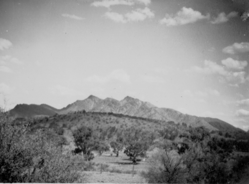
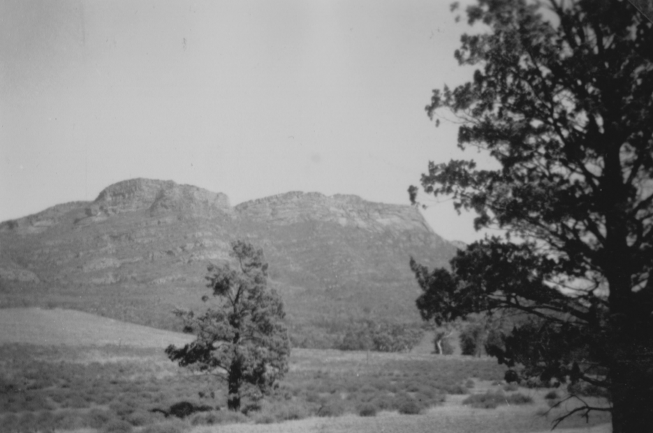
The Flinders Ranges from Parachilna.
January 1951
Wilpena Pound
Wilpena Pound is a natural amphitheatre of mountains in the heart of the Flinders Ranges National Park, The Pound covers nearly 80 square kilometres (31 sq mi), and contains the Flinders Range's highest peak, St Mary Peak of 1170 metres.
Wilpena Pound is a natural amphitheatre of mountains in the heart of the Flinders Ranges National Park, The Pound covers nearly 80 square kilometres (31 sq mi), and contains the Flinders Range's highest peak, St Mary Peak of 1170 metres.
In Wilpena Pound January 1951
Moutain ridge near Bond's Chalet, Wilpena Pound. January 1951
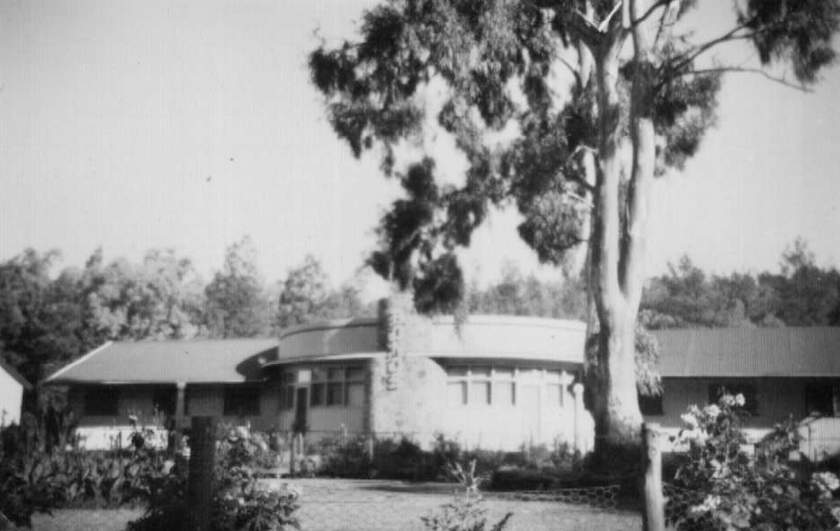
Bond's Chalet:
The Bond’s Scenic Motor Tours Company operated coach tours from Adelaide in winter and spring from the 1930s. There are photos from the early to mid-1930s showing Bond buses in front of the chalet. But some sources say it was 1948 before the building seen in this photo was completed. Photo : January 1951
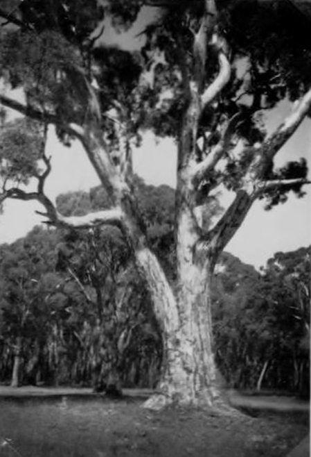
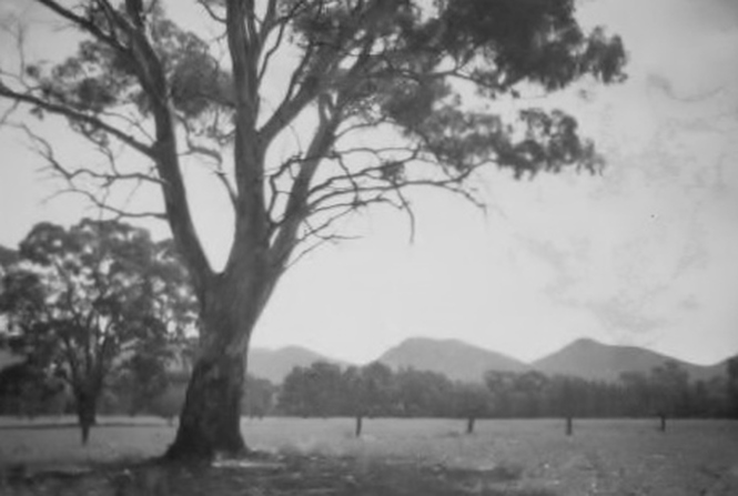
Magnificent eucalypt tree in Wilpena Pound. January 1951
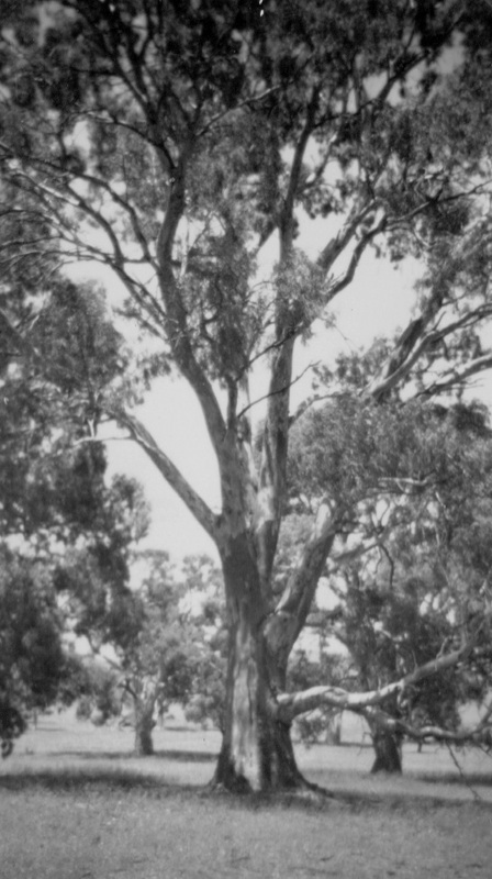
More fine gum trees in Wilpena Pound January 1951
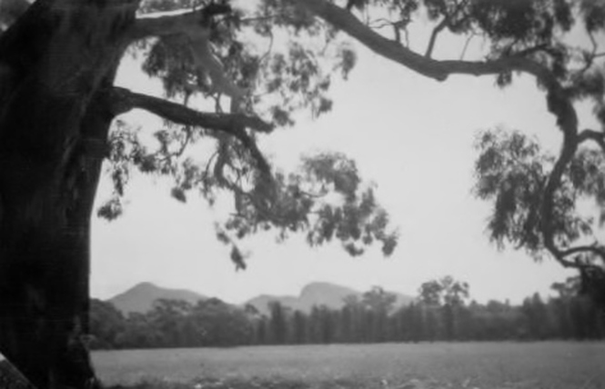
In Wilpena Pound January 1951
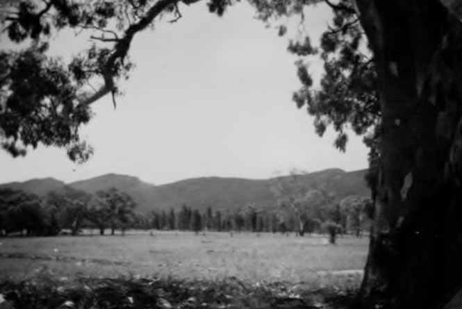
In Wilpena Pound January 1951
Ridge near Bond's Chalet in Wilpena Pound January 1951
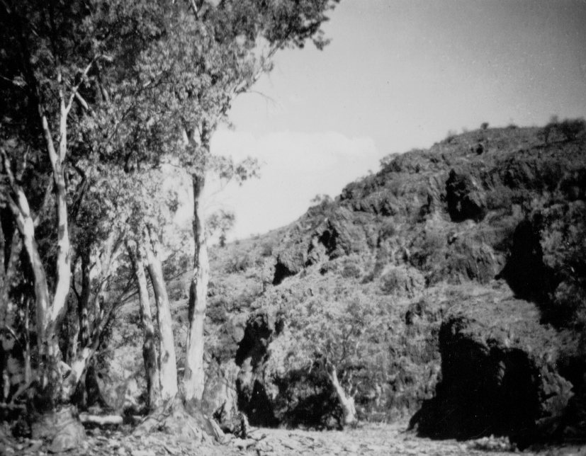
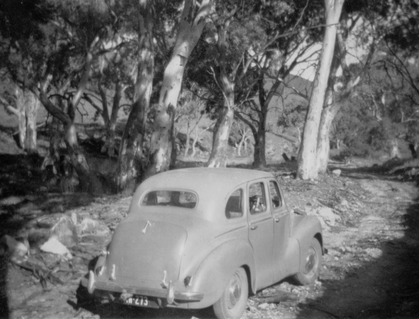
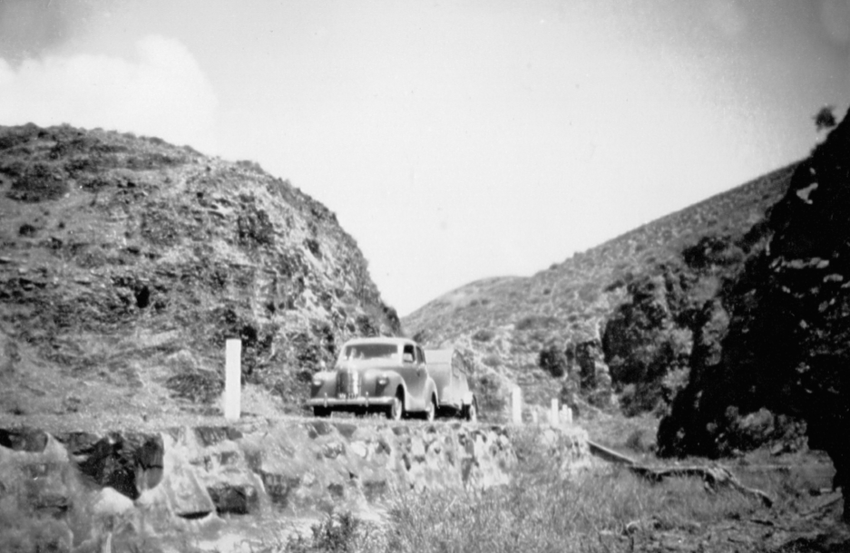
Road between Blinman and Parachilna passing along a creek bed. January 1951
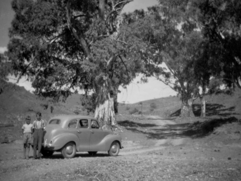
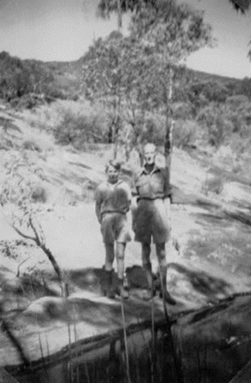
Keith and Alan Wickenton beside A40 where the road between Blinman and Parachilna passes along a creek bed. January 1951

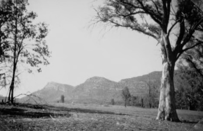
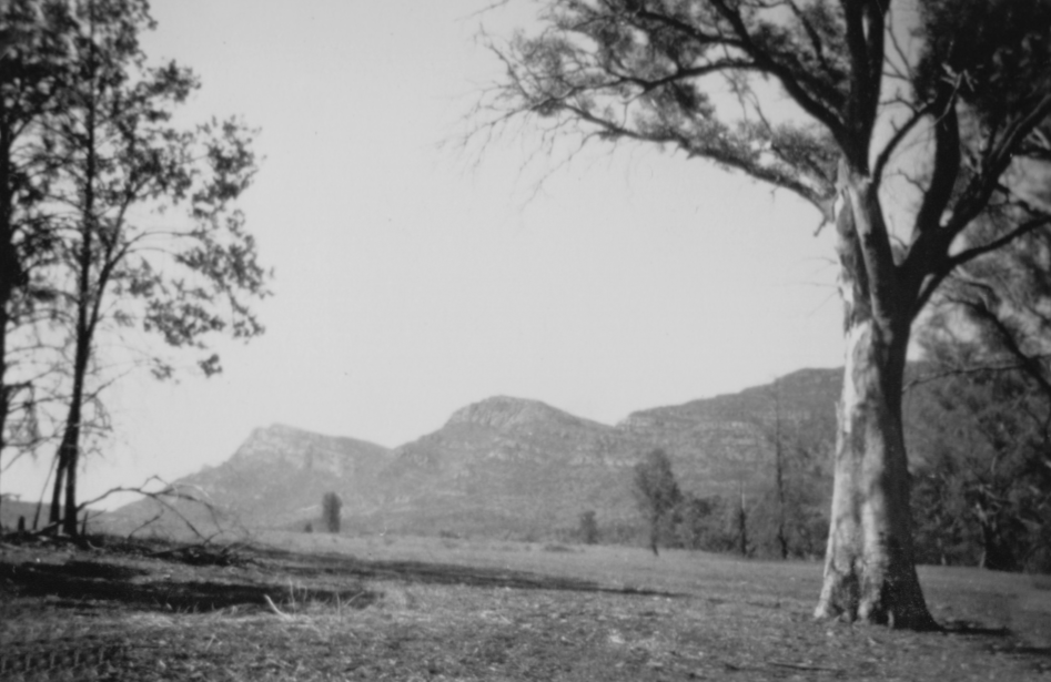
St. Mary's Peak, from Blinman Road, near Wilpena Pounds. At 1170 metres, St Mary's Peak is the highest point in the Flinders Ranges. January 1951
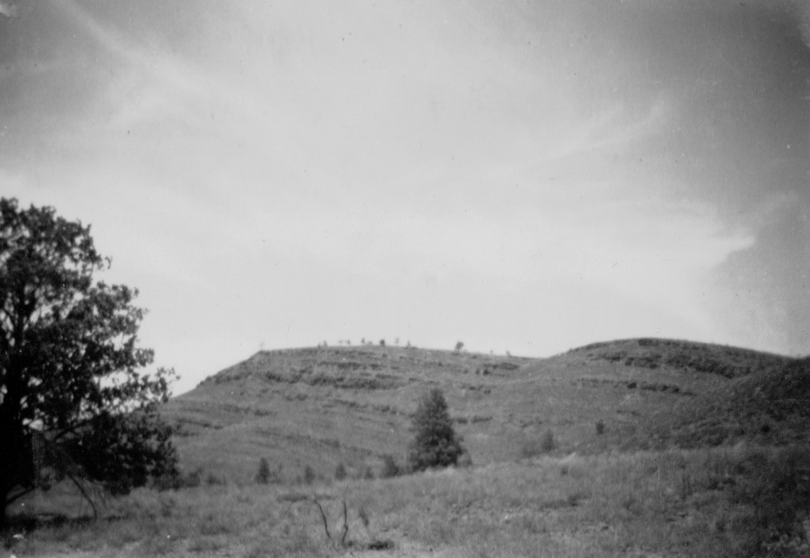
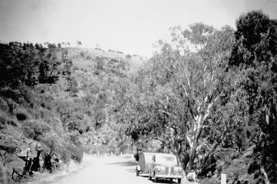
Ridges seen from the road to Blinman,
January 1951
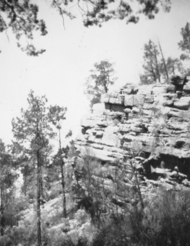
Rocks near Wilpena Pound. January 1951 #
|
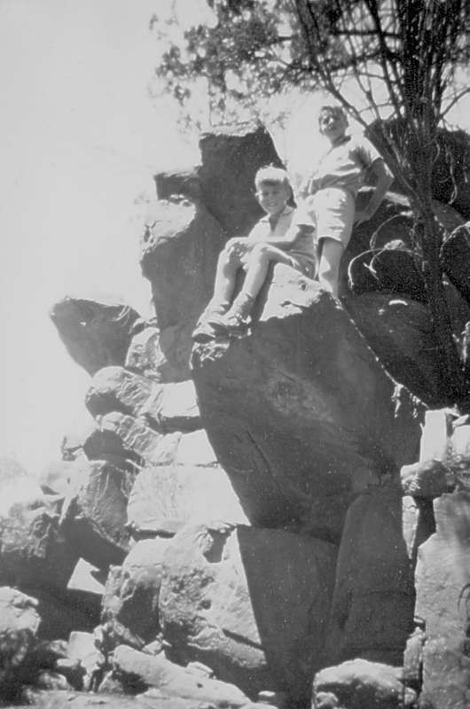
Keith and Alan Wickenton on a rocky perch near Bond's Chalet in Wilpena Pound January 1951 #
|
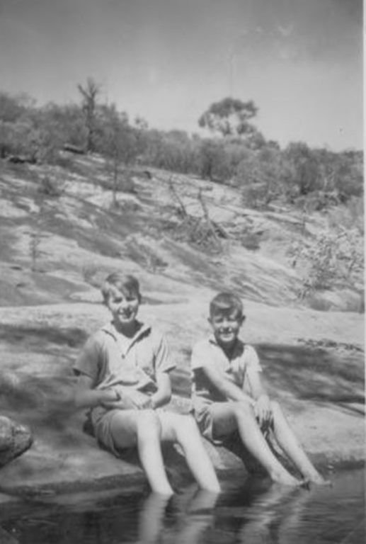
Alan and Keith Wickenton cooling off in a creek near Wilpena Pound. January 1951 #
|
Alan Wickenton and Arthur Shannon find a cool spot beside a creek in Wilpena Pound. January 1951 #
|
Part of the road north to Blinman where it passes along a creekbed. January 1951
High ridge near Bond's Chalet, Wilpena Pound. January 1951
Quorn
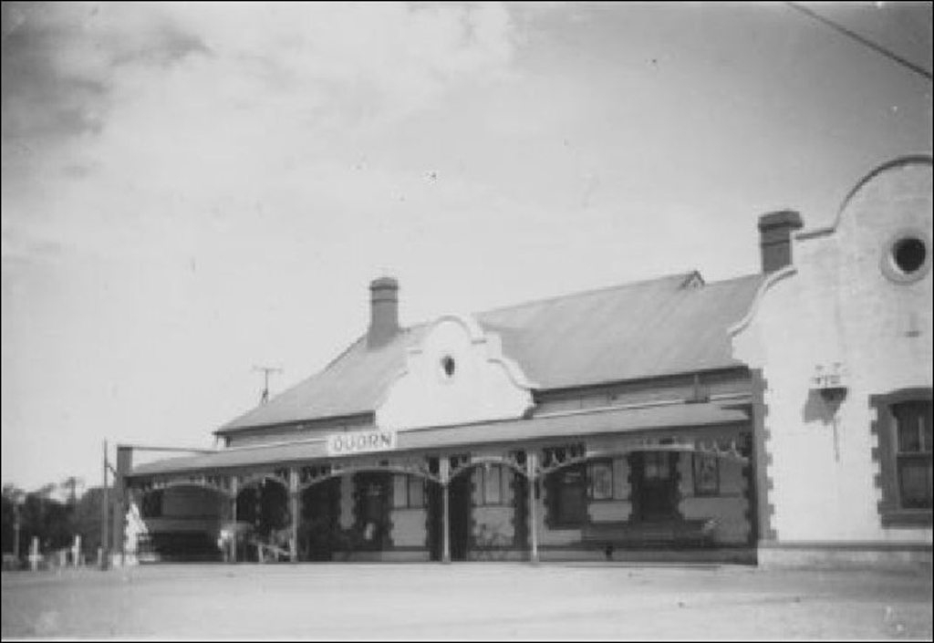
Quorn Railway Station 25 January 1951
The railway arrived from Port Augusta at Quorn, at the southern end of the Flinders Ranges, in1879.
The stone and brick station building (seen above) was built in 1916 to replace an original timber station.
When this photo was taken in January 1951, the station was still serving the Central Australia Railway.
However in 1956 a new main line was opened west of the Flinders Ranges, and activity waned at Quorn until a railway preservation society started a tourist railway between the town and the Pichi Richi Pass.
Quorn Railway Station played a major role during World War Two as a staging post for the movement of troops and supplies to and from Darwin.
Pichi Richi Pass
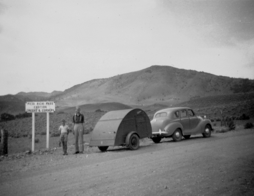
Keith Wickenton and Arthur Shannon at the start of the Pichi Richi Pass. Photo 25 January 1951
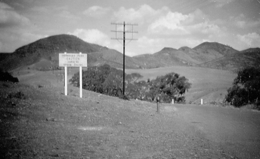
Horrock's Pass
In Horrock's Pass. Photo 24 January 1951
Horrocks Pass is in the southern Flinders Ranges, about 6 kilometres west of the town of Wilmington.
Horrocks Highway travels through the pass between Port Augusta and Wilmington.
It is named after John Horrocks who travelled through the area with his party in August 1846 during his ill-fated exploration of land north of Spencer Gulf.
At the top of the pass is a lookout and monument to Horrocks and his party.
Horrocks died from gangrene a month after he was accidentally shot by his own rifle while hunting.
The western end of Horrock's Pass.
Photo 24 January 1951
Port Germein Pass
In Port Germein Pass at the southern end of the Flinders Ranges. The road was made through the Port Germein Gorge in 1879 to allow cartage of wheat to the port. At the time, Port Germein boasted the world's longest jetty. Photo 24 January 1951
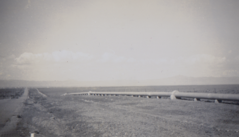
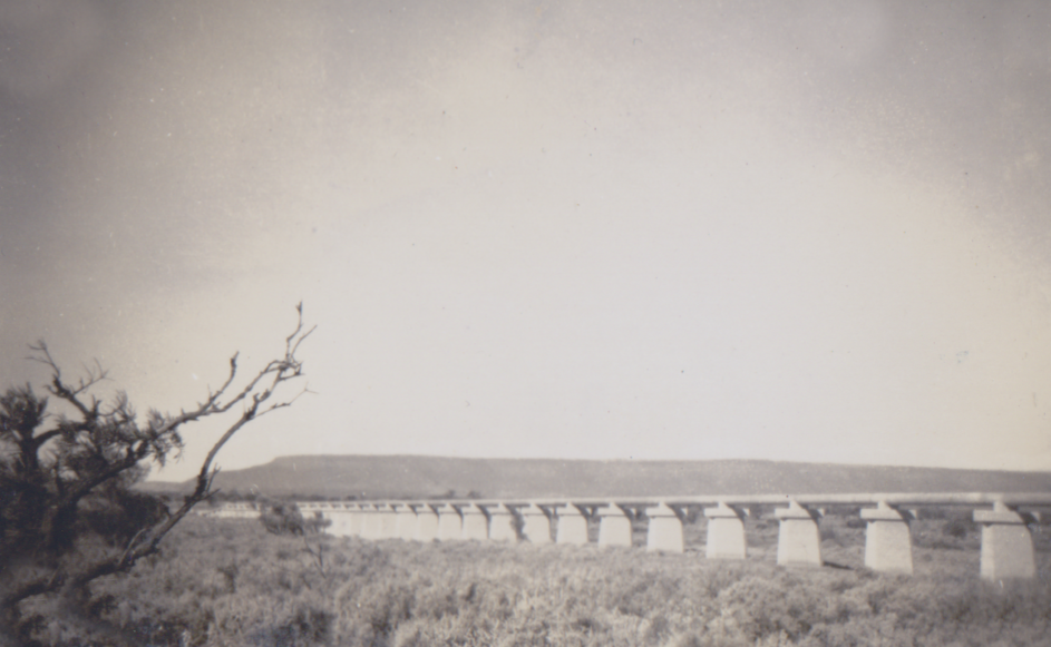
The Whyalla Water Pipeline
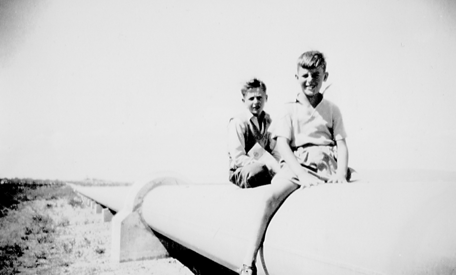
Keith Wickenton astride the Whyalla water pipeline , with Alan Wickenton behind .24 January 1951
The town of Whyalla was established early in the 1900s as a base for iron ore mining.
By 1937 it was evident that an assured water supply was essential for the town’s continued growth.
By 1937 it was evident that an assured water supply was essential for the town’s continued growth.
24 January 1951
Construction of the pipeline (photos above and below taken on 24 January 1951) started in 1940 and was completed in 1944.
Water is taken from the Murray River at Morgan and the pipeline route is via Hanson, Spalding, Helshaby and Port Augusta.
The water passes through the Morgan Water Treatment Plant , and four pumping stations are needed to transport it along the 379 kilometres to Whyalla.
Water is taken from the Murray River at Morgan and the pipeline route is via Hanson, Spalding, Helshaby and Port Augusta.
The water passes through the Morgan Water Treatment Plant , and four pumping stations are needed to transport it along the 379 kilometres to Whyalla.
24 January 1951
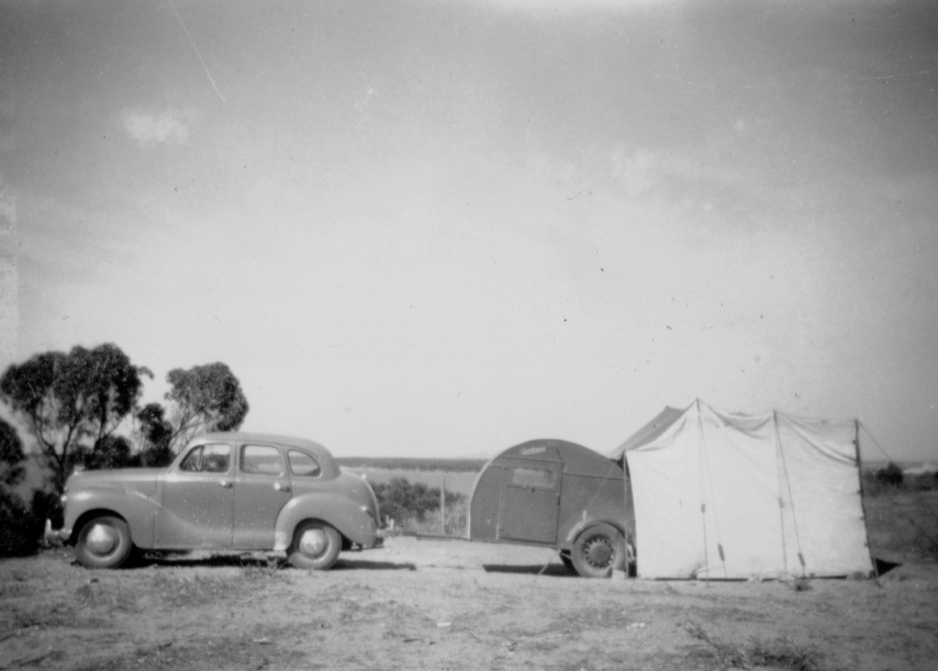
Camp site at Whyalla. Photo taken 25 January 1951
Whyalla shipyards
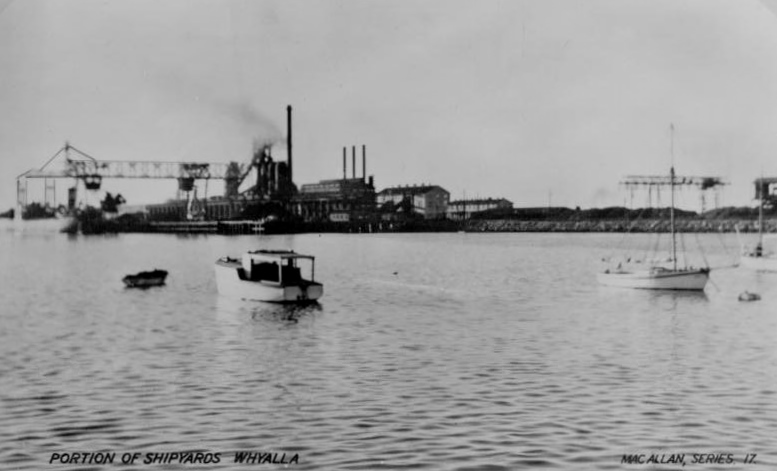
Postcard purchased at Whyalla 24 January 1951. Picture show part of the Whyalla Shipbuilding yards.
As war clouds began to gather, the Whyalla shipbuilding yards were started in 1939 and took their first order from the Royal Australian Navy in June 1940. The keel was laid in July while the yards were still being built.
The corvette HMAS Whyalla was launched on 12 May 1941.
Another three corvettes were built for the Navy in quick succession,Kalgoorlie, Gawler and Pirie, and were were all completed that year.
More naval ships were built during World War Two , and with war’s end the yard continued to build ships , mainly large bulk ore carriers and oil tankers.
In the late 1950s the Whyalla shipyards adopted all-welded construction and this produced even bigger ships.
Fierce competition from Japanese ship builders resulted in the closing of the shipyards in 1978, which at the time were the largest in Australia.
In all, some 64 ships were built between 1940 and 1978.
Flinders Memorial
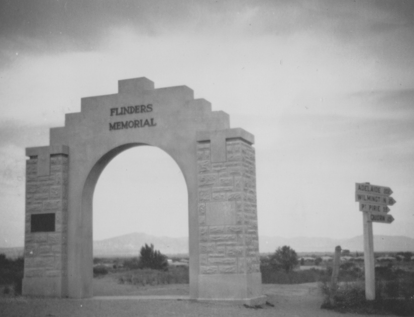
Flinders Memorial Arch at Port Augusta. It was less than three years old when this photo was taken on 25 January 1951.
The arch honours famous British navigator and explorer, Matthew Flinders who made the first recorded visit to the area by a European.
An exploration party from his ship “ Investigator" climbed Mount Brown in March 1802.
The Arch was unveiled on Pioneers Day ( 28 April ) 1948 by the then Mayor of Port Augusta, Mr L.G. Riches, MP, ‘as a fitting memorial to an adventurous spirit to whom Australia owed a great deal’.
The archway is sited overlooking Spencer Gulf and Mount Brown both named by Matthew Flinders, and with a view of the Flinders Ranges named in his honour.
The Historical Memorial Committee of the Royal Geographical Society was largely responsible for the construction of the memorial.
A plaque attached to the arch reads
Matthew Flinders RN
(1774-1814)
Commander of H.M. Sloop ‘Investigator’
discovered, surveyed and named Spencer Gulf
February – March 1802. In a cutter he
reached the head of the Gulf 11th March.
He named Curlew Point
and
Mounts Brown and Arden.
Unveiled Pioneers Day April 1948
Port Pirie
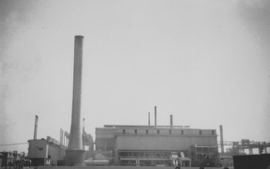
Port Pirie Smelting Works. Photo 24 January 1951. The site has been used for lead smelting since 1889. BHP built another smelting works in 1915, and by 1934 it was the world’s biggest single-unit lead-smelting works.
The Mighty Murray
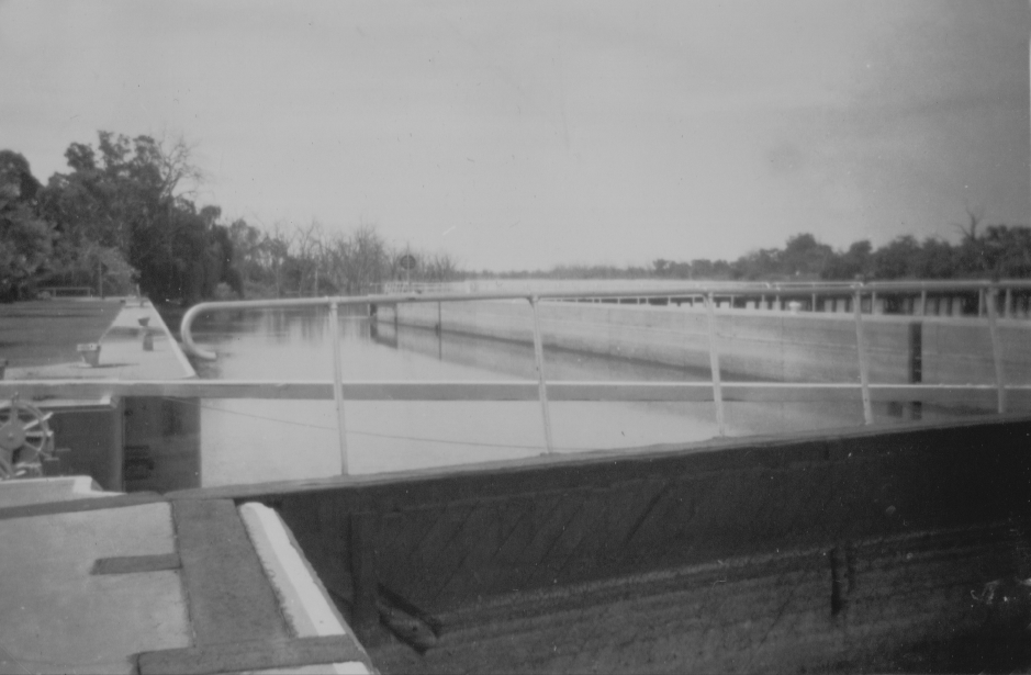
Murray River Lock at Blanchetown, South Australia. Photo 29 January 1951.
Named the W. R. Randell Lock , it is the first lock on the Murray River. At normal flows, the river level below the lock is 0.75 metres and above the lock is 3.3 metres.The day this photo was taken, we croseed the Murray River on a Punt which operated from1869 until 1963, when a bridge was opened.
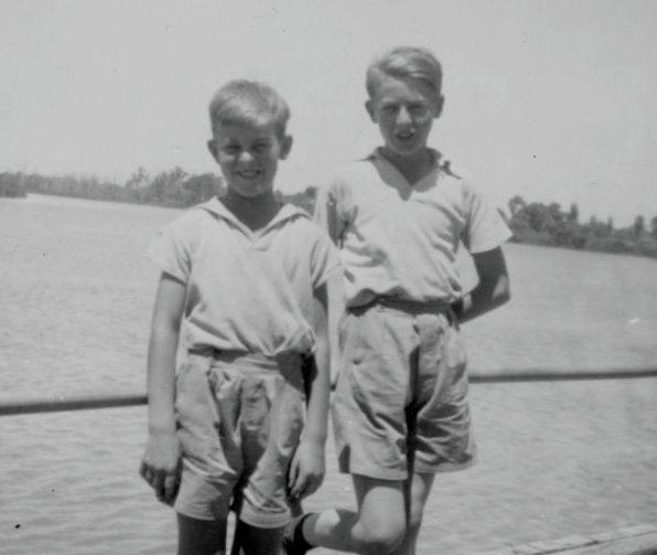
Keith and Alan Wickenton beside the Murray River at Renmark, South Australia. Photo 30 January 1951
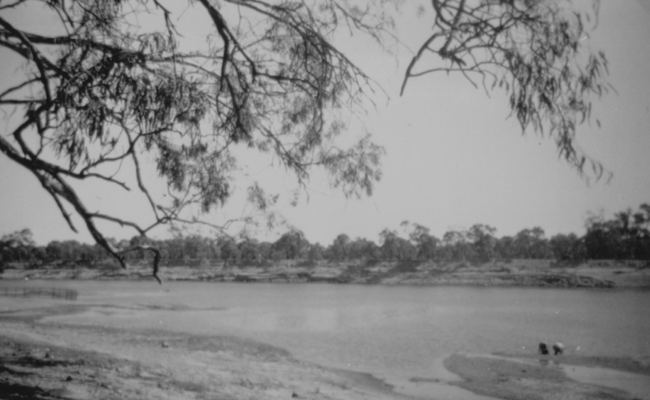
Murray River at Mildura, Victoria.Alan and Keith Wickenton are at the water's edge. Photo taken 30 January 1951.
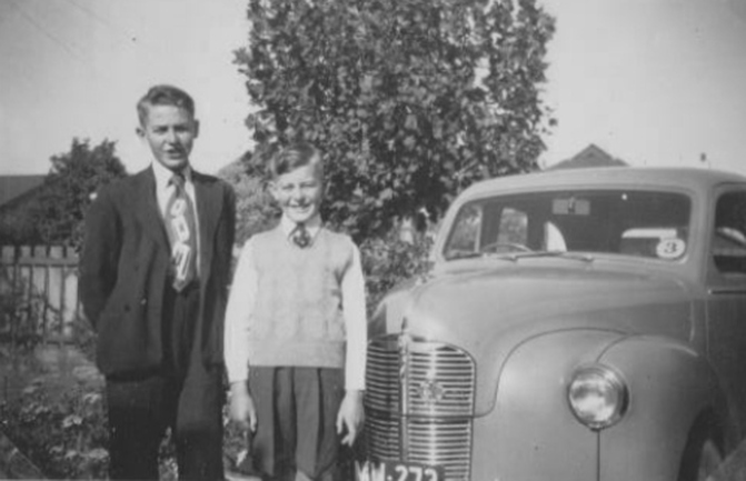
Alan and Keith Wickenton back in Melbourne after the 1951 trip to the Flinders Ranges, a journey
totaling 2837 miles ( 4565 kilometres).
